• SAM Registered
• AS - Veteran Owned Business
• QF - Service Disabled Veteran Owned*
• VW - Contracts and Grants
• ZX - For Profit Corporation
• 512110 - Video Productions
• 512191 - Video Post-Production Services
• 512199 - Other Motion Picture and Video Industries
• 711510 - Producer, Director, Scriptwriter, Writer of Advertising Copy
• 541921 - Photography Services
The BLM partnered with local volunteers and citizens to organize a fund raising group to help build a new Interpretative Center at Pompey’s Pillar.
My responsibility was to create a video that the BLM and the committee could use to help motivate donations. Pompey’s Pillar is a favorite site for local area schools to utilize as a field trip destination. I thought it would be best to have the story told from the kid’s point of view, and after finding some remarkable students at Canyon Creek Schook, I wrote the script with them in mind and we were off and running!
The U.S. Navy required a video to help lift recruitment numbers for the Civil Engineer Corps. My assigned tasks were to research the script by conducting preliminary interviews with Navy and Marine Corps engineering officers at Camp Pendleton, Point Mugu, Port Hueneme, and Naval Air Station North Island; all in Southern California.
After writing the script and receiving approval, I returned to California and videotaped the program during a two week period, then edited the program for the final approval of the Naval Media Center.
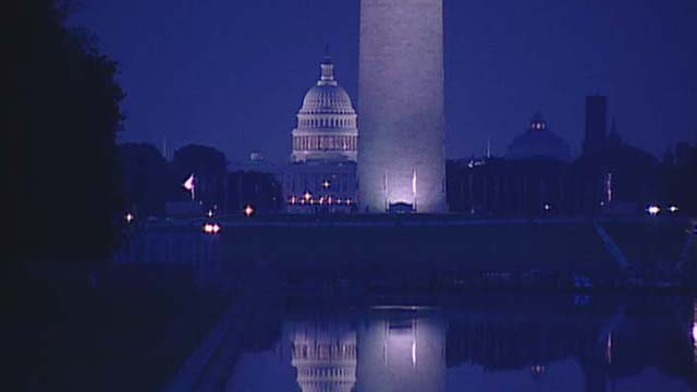
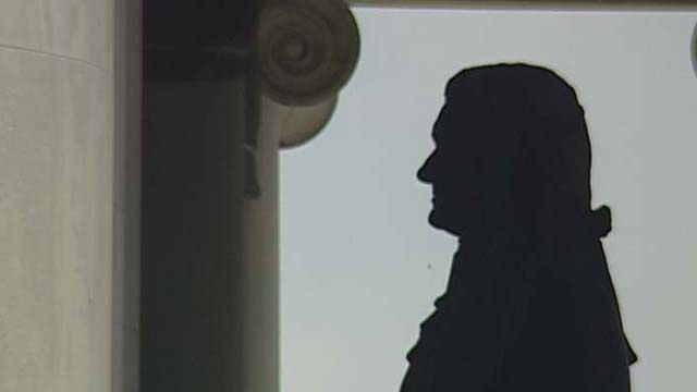
The National Park Service required a new orientation video for the visitor center at Little Bighorn National Monument. Bill Brown, a former employee of the Park Service wrote the script, and Neil Magnum, former superintendent along with John Doerner, battlefield historian, helped organize shooting in and around the battlefield. I then edited the program incorporating 3D graphics done in Lightwave, based on actual USGS DEM data to help convey the role terrain played in the battle.